The Sunshine Coast Run.
3 TO 5 DAYS · SELF-GUIDED OR FULLY GUIDED · EASY GOING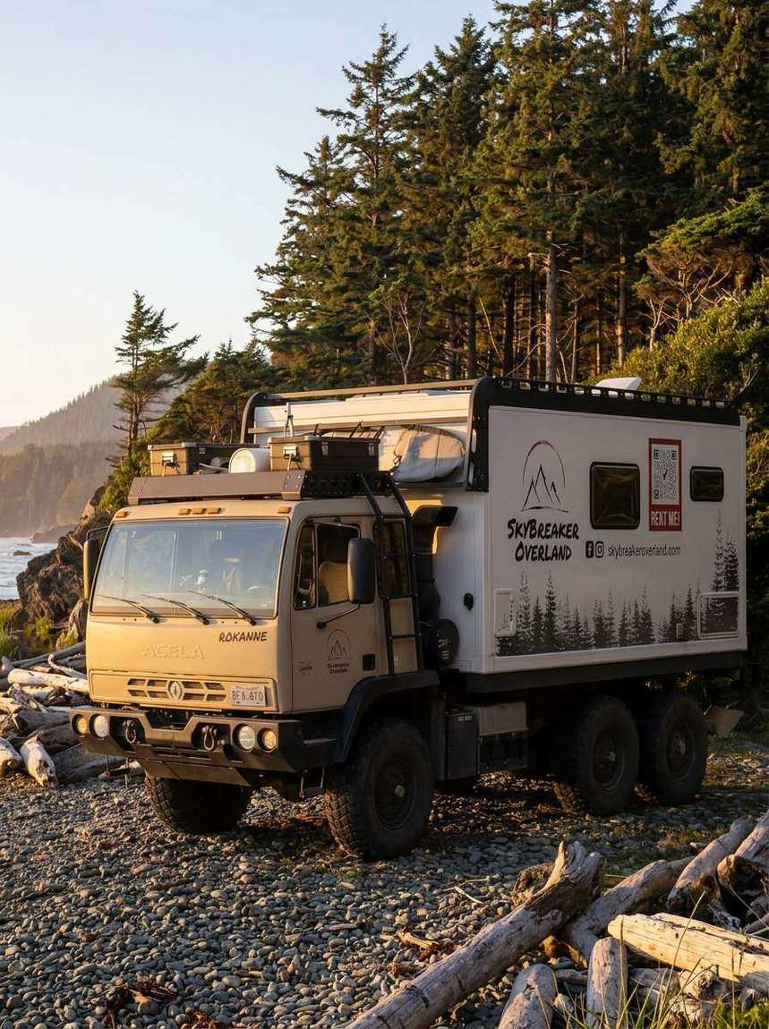


Up the coast the slow way. Two ferries, a string of inlets, and mainline networks running behind the whole coastline that the beach traffic never finds.
Ferries, inlets, and forest roads to Powell River.
Up the coast the slow way. Two ferries, a string of inlets, and mainline networks running behind the whole coastline that the beach traffic never finds. Swim lakes warm enough to stay in, camp above the strait, and let the ferry schedule set the only deadline of the week.
The log updates itself as bookings land. Dates don't fit? Ask about a custom window. The season flexes for longer trips.
Day by day
Every day is a card: where you wake up, what the road does, where you sleep.
DAY 01The ferry deck start
The trip starts on the water. Roll off at Langdale, point north, and let the coast set the pace. Camp is an inlet with your name on it.
DAY 02Inlet country
Fjord walls, oyster beaches, and forest roads that dead-end at views nobody signposts. Dinner is whatever the dock sold you that morning.
DAY 03The second crossing
Earls Cove to Saltery Bay, the prettiest commute in the country. North of it the coast empties out and the good gravel begins.
DAY 04Powell Lakes country
Behind Powell River the lake systems go on for days. Pick one, camp it, swim it, argue about staying.
DAY 05The slow goodbye
A last coffee overlooking the strait, one ferry, then another. You will check property listings on the ride home. Everyone does.
The route geek sheet
The planning detail behind the line. For the spec-curious, and for knowing exactly what you're saying yes to.
TERRAIN & DRIVING
FUEL, RESUPPLY & COMMS
CAMPS & WATER
PERMITS, SEASONS & ADD-ONS
An hour from the city, a world away.
Send us your dates and crew. We match the truck, finish the plan, and hand you the keys.